Activiewer
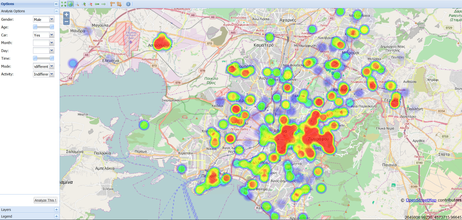
 ActiViewer™ is an interactive Volunteered Geographic Information (VGI) web-platform, which has been designed and developed by the GeoCHOROS – Geospatial Analysis and GIS Research Group, at the National Technical University of Athens, Greece, for the online harvesting, analysis and spatiotemporal geovisualization of human activity data. Activity data are georeferenced and collected through the utilization of i-Path™, a smartphone application designed and developed by Aristides D. Vaiopoulos, at GeoCHOROS.
Datasets are automatically stored and pre-processed so that they enable the exploitation of spatial and temporal dimensions of activity space-time patterns through poly-parametric density surfaces (Hot Spot analyses).
*This project was discontinued before its completion.